Search Results
- IDNO:
- 000816
- Title:
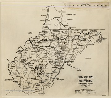
- Civil War Map of West Virginia
- Date:
- 1936
- Description:
- Civil War Map of West Virginia. Showing present counties and county seats 1936. Includes railroads, turnpikes, lateral roads, county lines, states lines, and rivers.
- IDNO:
- 006768
- Title:
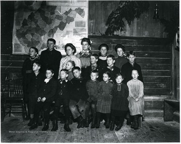
- Class Photo Helvetia, W. Va.
- Description:
- Group Portrait of Children Standing in Front of a W. Va. State Map

- IDNO:
- 016049
- Title:
- Map of West Virginia
- Date:
- 1889
- IDNO:
- 017796
- Title:
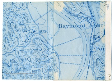
- Government Map Showing Stewarts Farm Area, West Virginia University, Agricultural Experiment Station
- Date:
- 1910/05
- IDNO:
- 028438
- Title:
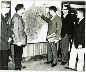
- Group Viewing Map of West Virginia in the Mineral Industries Building, White Hall, West Virginia University
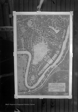
- IDNO:
- 051307
- Title:
- Map of the West Virginia State Four-H Camp at Jackson's Mill, Lewis County, W. Va.
- Date:
- undated
- Description:
- A general layout plan of the 4-H Camp at Jackson's Mill.


