Search Results
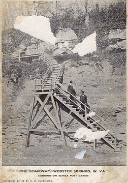
- IDNO:
- 039448
- Title:
- The Stairway, Webster Springs, W. Va,
- Date:
- ca. 1908
- Description:
- Courtesy of Steve McElwain, Sutton, W. Va.
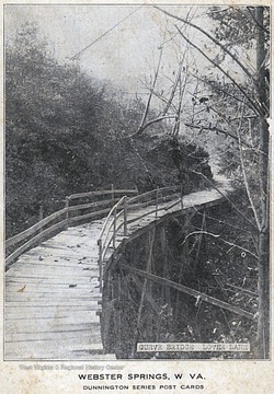
- IDNO:
- 039449
- Title:
- Curve Bridge, Lovers' Lane, Webster Springs, WV
- Date:
- ca.1910
- Description:
- Postcard photograph courtesy of Steve McElwain.
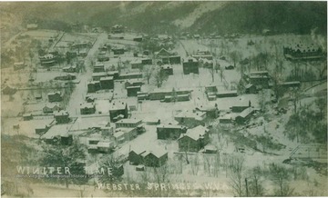
- IDNO:
- 041252
- Title:
- Winter Time in Webster Springs, W. Va.
- Date:
- 1910
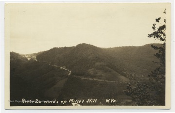
- IDNO:
- 044159
- Title:
- Route 20 Winds Up Millet Hill, North of Webster Springs, W. Va.
- Description:
- See original for correspondence. (From postcard collection legacy system.)

- IDNO:
- 044160
- Title:
- Gauley River, Seen from Route 15, Near Webster Springs, W. Va.
- Date:
- ca. 1939
- Description:
- (From postcard collection legacy system.)
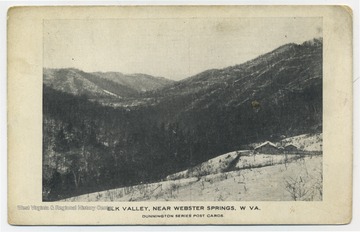
- IDNO:
- 044161
- Title:
- Elk Valley, Near Webster Springs, W. Va.
- Description:
- (From postcard collection legacy system.)
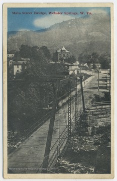
- IDNO:
- 044163
- Title:
- Main Street Bridges, Webster Springs, W. Va.
- Description:
- Published by Auburn Post Card Mfg. Co. (From postcard collection legacy system.)
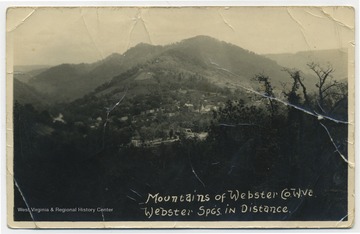
- IDNO:
- 044165
- Title:
- Mountains and Town of Webster Springs in Distance, Webster Co., W. Va.
- Description:
- See original for correspondence. (From postcard collection legacy system.)
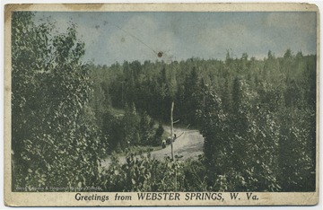
- IDNO:
- 044168
- Title:
- People Walk Down Road Surrounded by Woods, Webster County, W. Va.
- Description:
- See original for correspondence. (From postcard collection legacy system.)
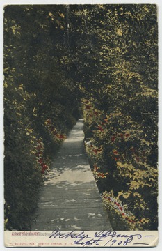
- IDNO:
- 044170
- Title:
- Lover's Lane, Webster Springs, W. Va.
- Date:
- ca. 1908
- Description:
- Published by Gillespie. (From postcard collection legacy system.)
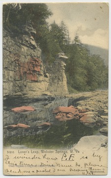
- IDNO:
- 044173
- Title:
- Lover's Leap, Webster Springs, W. Va.
- Description:
- Published by the Rotograph Co. See original for correspondence. (From postcard collection legacy system.)
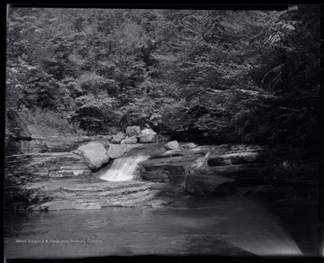
- IDNO:
- 050467
- Title:
- View Looking Up Stream of Right Fork Leatherwood Creek, W. Va.
- Date:
- 1962
- Description:
- View of rapids in Right Fork Leatherwood Creek in Webster County, W. Va. "Right Fork of Leatherood Creek, looking upstream from "Big Trestle." The "Big Trestle" got it's name from GC&E crews because it was the longest span on this stretch of RR."


