Search Results
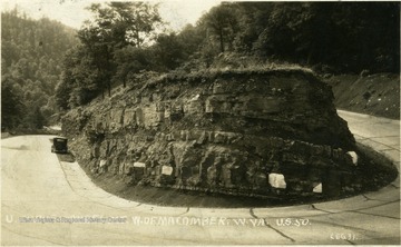
- IDNO:
- 006432
- Title:
- U-Shaped Curve on U.S. 50 at Laurel Mountain, West of Macomber, W. Va.
- Description:
- A U-shaped curve cut into the earth on Rt. 50.
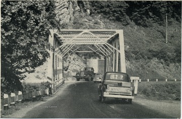
- IDNO:
- 012635
- Title:
- Mechanicsburg Gap Bridge Over Mill Creek, on U. S. 50 , Hampshire County, W. Va.
- Date:
- ca. 1949
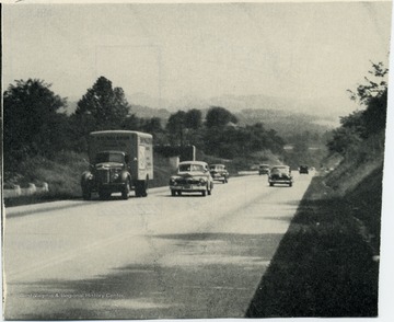
- IDNO:
- 012757
- Title:
- Traffic on U. S. 50 on Bridgeport Hill, Harrison County, W. Va.
- Description:
- View of U. S. 50 on Bridgeport Hill with a truck lane in Harrison County.
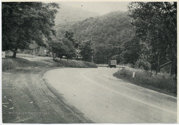
- IDNO:
- 013591
- Title:
- Cornell Curve on U. S. 50, Mineral County, W. Va.
- IDNO:
- 015577
- Title:
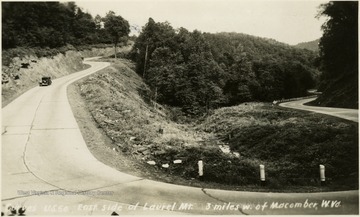
- Curves on U. S. 50, East Side of Laurel Mountain, Preston County, W. Va.
- Date:
- ca. 1947
- Description:
- View of U. S. 50 three miles west of Macomber, W. Va.
- IDNO:
- 038645
- Title:
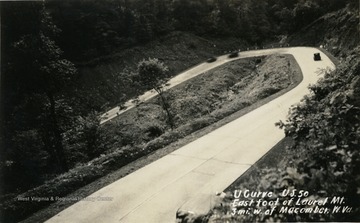
- U Curve on U.S. Route 50, East Foot of Laurel Mountain, Preston County, W. Va.
- Date:
- ca. 1920
- Description:
- Curve located on Route 50 three miles west of Macomber in Preston County, West Virginia. The image is a post card photograph print.


