Search Results
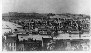
- IDNO:
- 001263
- Title:
- Parkersburg During the Civil War
- Date:
- undated
- Description:
- Sketch of Parkersburg during Civil War. Gateway to the interior by water and rail, it was a busy military forwarding center during the war. Terminal of the Northwestern Virginia Railroad, branch of the Baltimore and Ohio from Grafton, river port, and headquarters of the U.S. Navy tin-clad patrol boats it was a key point in the western defense. The long, low building along the river was the railroad freight station. See Boyd Stutler's 'WV in the Civil War.'
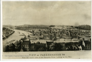
- IDNO:
- 007755
- Title:
- Parkersburg, W. Va.
- Date:
- ca. 1859
- Description:
- Sketch 'View of Parkersburg, Virginia from the south side of the Kanawha River, looking up the Ohio.' Parkersburg, Virginia later became Parkersburg, West Virginia.

- IDNO:
- 007766
- Title:
- Parkersburg, W. Va. - View of the Point from Fort Boreman
- Date:
- 1895
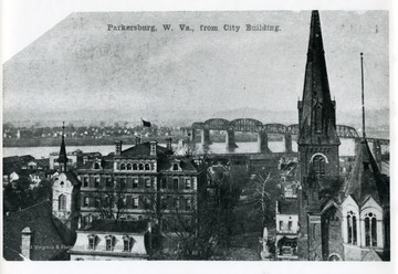
- IDNO:
- 007775
- Title:
- Parkersburg, W. Va. - View from the City Building
- Date:
- ca. 1900
- Description:
- An aerial view of Parkersburg, West Virginia from the City Building.
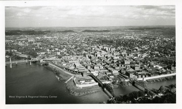
- IDNO:
- 007778
- Title:
- Aerial View of Parkersburg, W. Va.
- Date:
- 1958
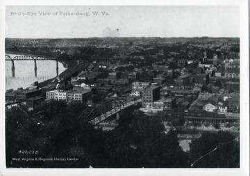
- IDNO:
- 007781
- Title:
- Bird's Eye View of Parkersburg, W. Va.
- Date:
- ca. 1900-1910
- Description:
- Postcard of bird's eye view of Parkersburg, West Virginia.
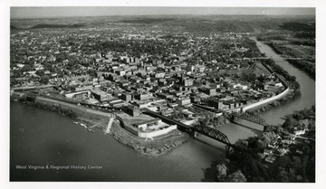
- IDNO:
- 007784
- Title:
- Aerial View of Parkersburg, W. Va.
- Date:
- 1958
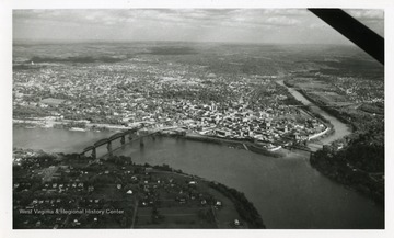
- IDNO:
- 007785
- Title:
- Aerial View of Parkersburg, W. Va.
- Date:
- 1958
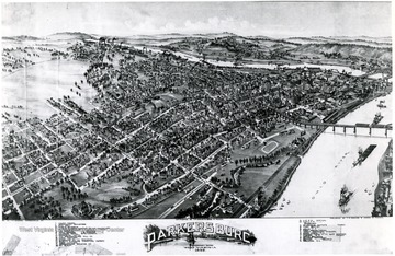
- IDNO:
- 007796
- Title:
- Fowler Map of Parkersburg, W. Va.
- Date:
- 1899
- Description:
- Drawing of the city of Parkersburg with labels on streets and buildings.
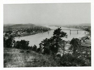
- IDNO:
- 007801
- Title:
- Parkersburg, W. Va. and Belpre, Ohio
- Date:
- ca. 1890-1900
- Description:
- A view of Parkersburg, West Virginia and Belpre, Ohio in the 1890s.