Search Results

- IDNO:
- 032063
- Title:
- Shavers Fork of Cheat River at Parsons, W. Va.
- Description:
- Postcard photograph of a metal bridge crossing Shavers Fork with a building, possible a toll house, on the bank next to the bridge in Tucker County.

- IDNO:
- 037125
- Title:
- Cheat River Gorge View from Cooper's Rocks Near Morgantown, W. Va.
- Description:
- 2,000 feet above sea level.
- IDNO:
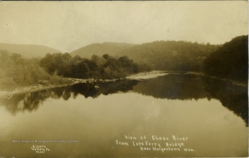
- 039397
- Title:
- View of Cheat River Near Morgantown, W. Va.
- Date:
- ca. 1900
- Description:
- View of the river from the Ice's Ferry Bridge before Cheat Lake was formed.
- IDNO:
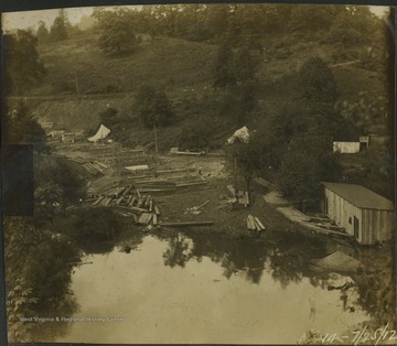
- 040045
- Title:
- Gravsy Run, Cheat Lake Dam, Cheat River, Monongalia County, W. Va.
- Date:
- 1912/07/25
- Description:
- Taken during the construction of the dam.
- IDNO:
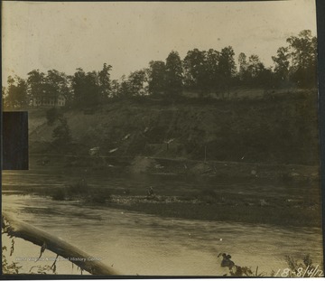
- 040046
- Title:
- Dam Site at Cheat Haven, Cheat River, Monongalia County, W. Va.
- Date:
- 1912/08/04
- IDNO:
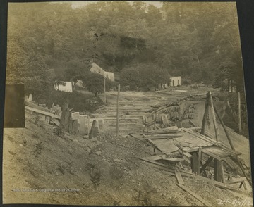
- 040047
- Title:
- Dam Work Site, Cheat River, Monongalia County, W. Va.
- Date:
- 1912/08/04

- IDNO:
- 040048
- Title:
- Dam Location, Cheat Lake Dam, Cheat River, Monongalia County, W. Va.
- Date:
- 1912/10/14
- Description:
- Photograph taken during the early stages of construction.
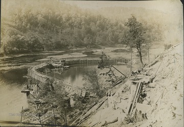
- IDNO:
- 040049
- Title:
- Coffer Dam, Cheat Lake Dam, Cheat River, Monongalia County, W. Va.
- Date:
- ca. 1912
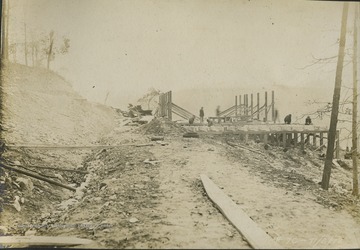
- IDNO:
- 040050
- Title:
- Cement Building, Cheat Lake Dam, Cheat River, Monongalia County, W. Va.
- Date:
- 1912/11/02
- Description:
- All persons in the photograph are unidentified.
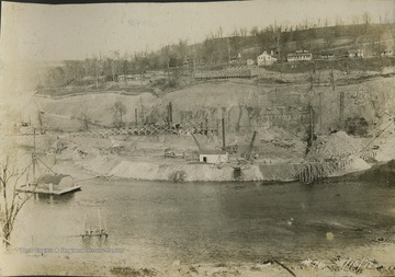
- IDNO:
- 040051
- Title:
- Building of Cheat Lake Dam, Cheat River, Monongalia County, W. Va.
- Date:
- 1912/11/03
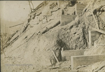
- IDNO:
- 040052
- Title:
- Railroad Bridge Under Construction at Cheat Lake Dam Site, Monongalia County, W. Va.
- Date:
- 1912/11/16
- Description:
- Probably a spur of the Baltimore and Ohio Railroad.

- IDNO:
- 040053
- Title:
- Railroad Trestle Bridge, Cheat Lake Dam Site, Monongalia County, W. Va.
- Date:
- 1912/11/22
- Description:
- Probably a spur of the Baltimore and Ohio Railroad.


